
- Satellite imagery from the European Space Agency showed the USS San Antonio docked at St. Croix.
- SA Defensa reported the vessel’s location about 620 to 650 miles from Venezuela’s coast.
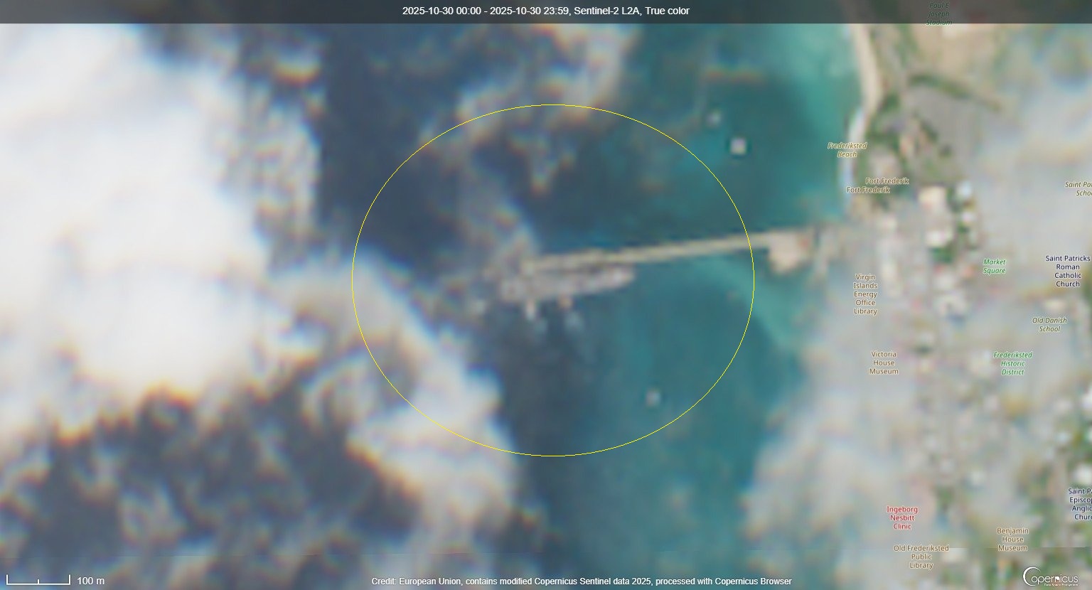
The U.S. Navy’s amphibious transport dock USS San Antonio (LPD-17) was spotted docked at St. Croix on October 30, according to newly released satellite imagery shared by SA Defensa.
The defense monitoring outlet said the vessel was visible in European Space Agency Sentinel-2 imagery, showing the ship moored at port in the U.S. Virgin Islands.
“The USS San Antonio (LPD-17) was spotted at dock in St. Croix on October 30th on European Space Agency’s Sentinel-2 satellite imagery,” SA Defensa reported.
St. Croix lies roughly 620 to 650 miles north of Venezuela’s coast, a distance that places the ship well within the broader Caribbean operational area. The U.S. Navy maintains regular patrols and training missions in the region, supporting both regional stability and contingency operations.
The USS San Antonio is the lead ship of its class of amphibious transport docks designed for deploying Marines, armored vehicles, and equipment directly to shore. The ship can carry up to 800 Marines and features a well deck for launching landing craft and amphibious vehicles, as well as a flight deck for helicopters and tiltrotor aircraft.
The vessel’s presence near the southern Caribbean comes amid ongoing U.S. military and diplomatic engagement across the hemisphere. While the Navy did not immediately issue a statement about the ship’s specific mission, the San Antonio-class vessels typically participate in amphibious readiness exercises, humanitarian missions, or regional security patrols conducted under the authority of the Department of War.
According to open sources, ships of this class are often deployed as part of Amphibious Ready Groups, providing rapid response capability for crisis operations or regional contingencies. Their design allows them to support both combat and humanitarian tasks, including disaster relief or evacuation operations in coastal areas.
The imagery’s release drew attention due to its timing and location, as the U.S. continues to monitor regional tensions and migration routes through the Caribbean basin. The Department of War routinely positions amphibious ships like USS San Antonio to ensure flexibility in responding to developing situations across the Americas.
The docking at St. Croix underscores the island’s role as a staging and logistics hub for U.S. forces operating in the Caribbean. The port facilities there offer access to both Atlantic and Caribbean routes, making it a frequent stop for U.S. naval vessels on rotation.